- info@kyjegeodrillsl.com
- Mon - Fri: 8:00 am - 5:00 pm
Surveying Works
- Home
- Surveying Works
// Delivering Accuracy from Ground to Blueprint
Precision Mapping Solutions
Kyje Geodrill Services Limited provides professional surveying solutions that support the planning, execution, and monitoring of engineering, construction, and environmental projects. Using cutting-edge instruments and modern geospatial technology, we deliver high-precision data essential for design accuracy, site assessment, and project efficiency. Our multidisciplinary team ensures that every survey meets international quality standards, enabling clients to make informed technical and strategic decisions.
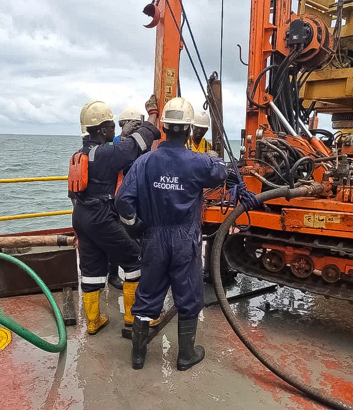
Our surveying capabilities cover a wide range of specialized services, including Bathymetric Surveys, Topographical Surveys, Hydrological Surveys, and Cadastral Surveys. Together, these offerings provide a comprehensive understanding of both terrestrial and subaqueous environments, supporting diverse applications from infrastructure development to environmental conservation.
Bathymetric Surveys
Our bathymetric survey services provide detailed mapping of underwater terrain using echo sounding and sonar technology. This is essential for dredging operations, harbor and port development, pipeline routing, and environmental assessments. We capture accurate depth and contour data to support marine construction, navigation safety, and resource management, ensuring clients have a clear understanding of subaqueous features and conditions.
Hydrological Surveys
We conduct comprehensive hydrological surveys to analyze surface and subsurface water characteristics, including flow rates, water levels, discharge volumes, and seasonal variations. These surveys are crucial for flood risk assessment, watershed management, dam and reservoir planning, and irrigation system design. Our team uses advanced monitoring instruments and modeling tools to deliver precise, data-driven insights for sustainable water resource development.
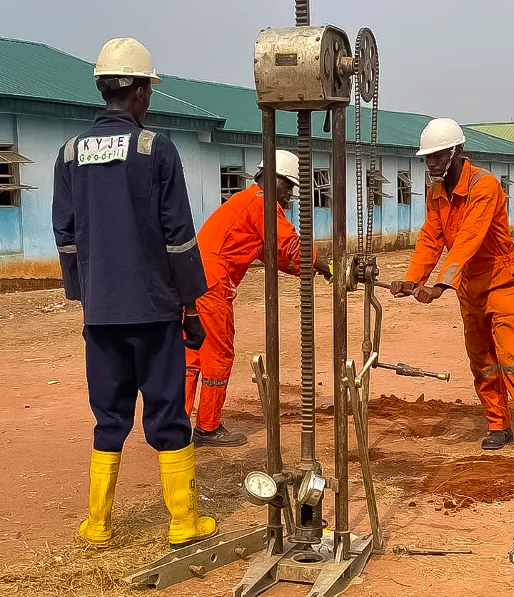
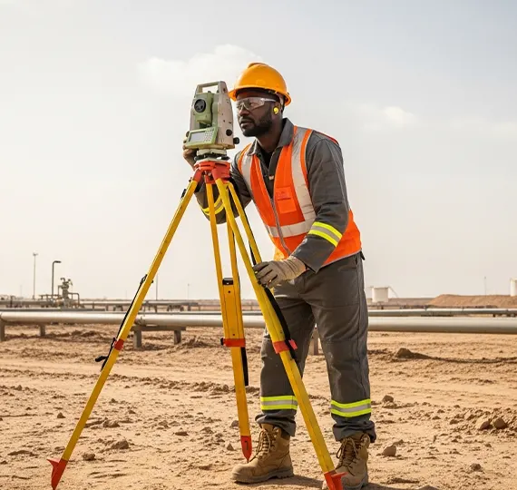
Topographical Surveys
Our topographical surveys offer a detailed representation of the physical features and contours of land surfaces. These surveys are fundamental in site planning, infrastructure development, road and bridge design, and environmental studies. We use Total Stations, GPS, and drone-based LiDAR to accurately capture terrain data, man-made structures, vegetation, and elevation changes—ensuring a strong foundation for any land-based project.
Cadastral Surveys
Our cadastral surveys establish and define property boundaries with precision, supporting land ownership documentation, acquisition, and legal compliance. We employ modern GNSS and digital mapping systems to deliver accurate boundary delineation, ensuring clarity in property rights, development planning, and regulatory approvals.
01
Quality Work
We ensure that all projects are done with utmost professionalism using quality materials while offering clients the support and accessibility.
02
Passion
Success is when we can achieve results in the things we are passionate about and feel as though we are making a difference.
03
Humility
Be humble in all dealings with our partners, clients and team members. True wisdom and understanding belong to the humble.
// Delivering quality, safety, and compliance across every operation
Comprehensive Standards
Comprehensive Standards
For Project Excellence
- Scope of Activities
- Quality
- Safety
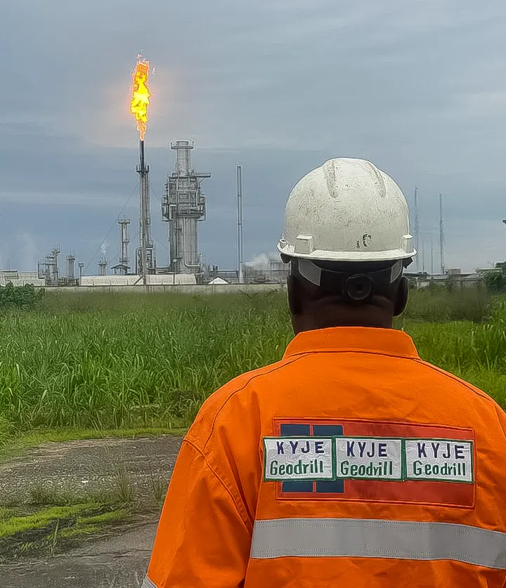
As a leading project consultancy, we undertake large industrial, commercial and infrastructure projects for public and private customers in the oil and gas industry.
Our Quality Management System is in compliance with ISO/IEC 17020 (BS EN 45004) and ISO 9001:2000 and 2008 also with Federal Ministry of Petroleum Resources.
The KYJE Geodrill Services Limited Health, Safety & Environment Management System (HSE-MS) manual is designed to standardize and implement safe work practices while ensuring effective environmental management across all our operations.